Facebook
Write to us
ÄŒesky
Deutsch
English
Polski
Sportovní areál Harrachov a.s.
INFO

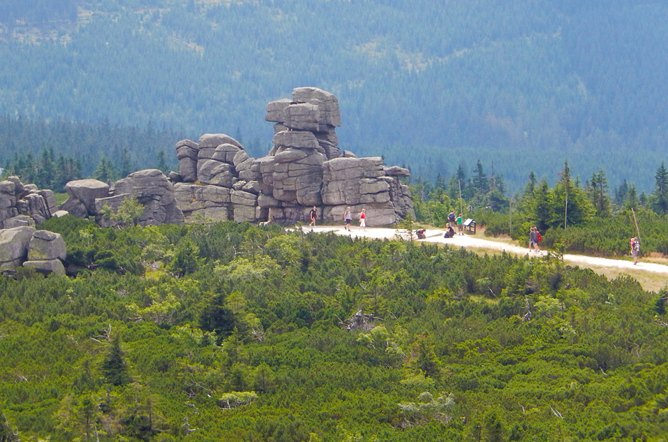
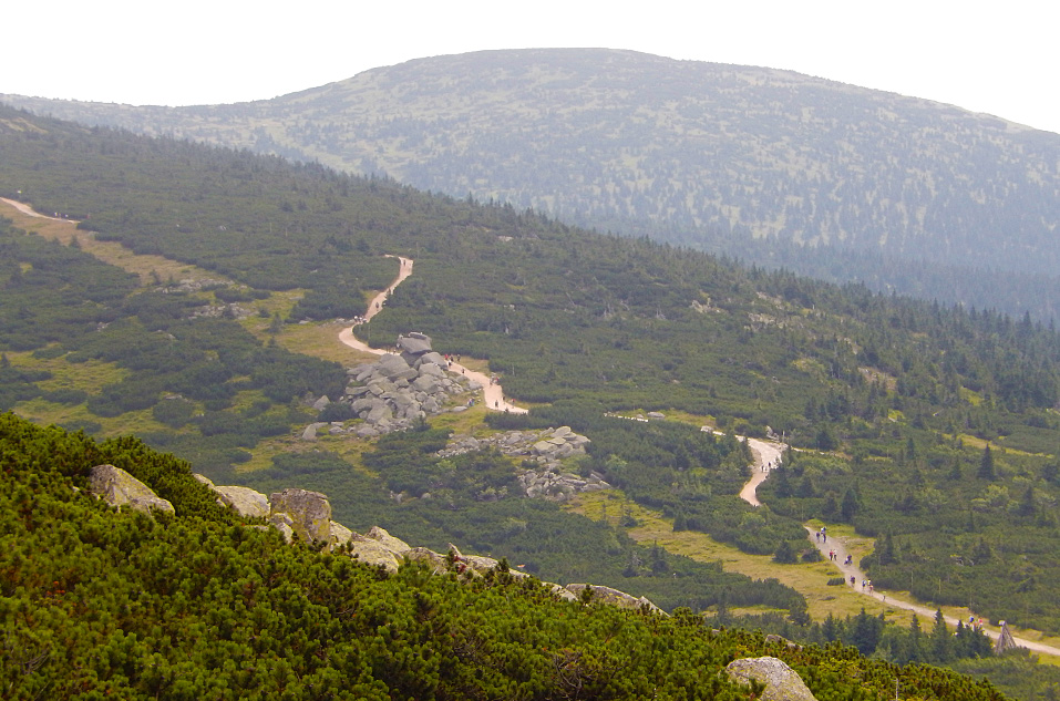
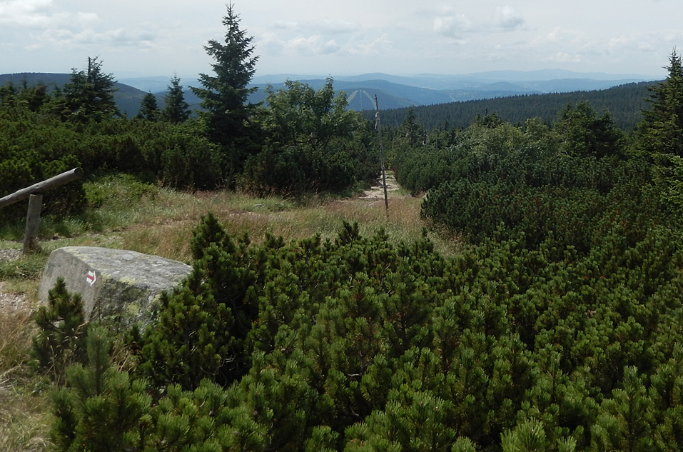
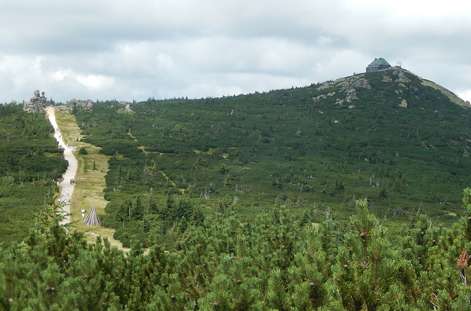
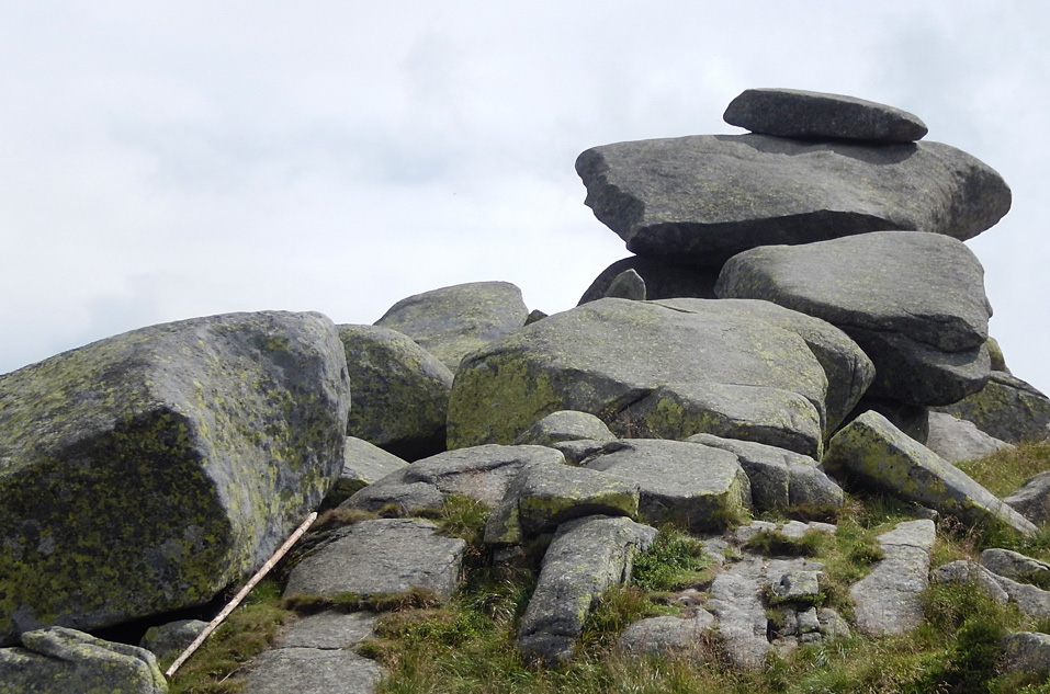
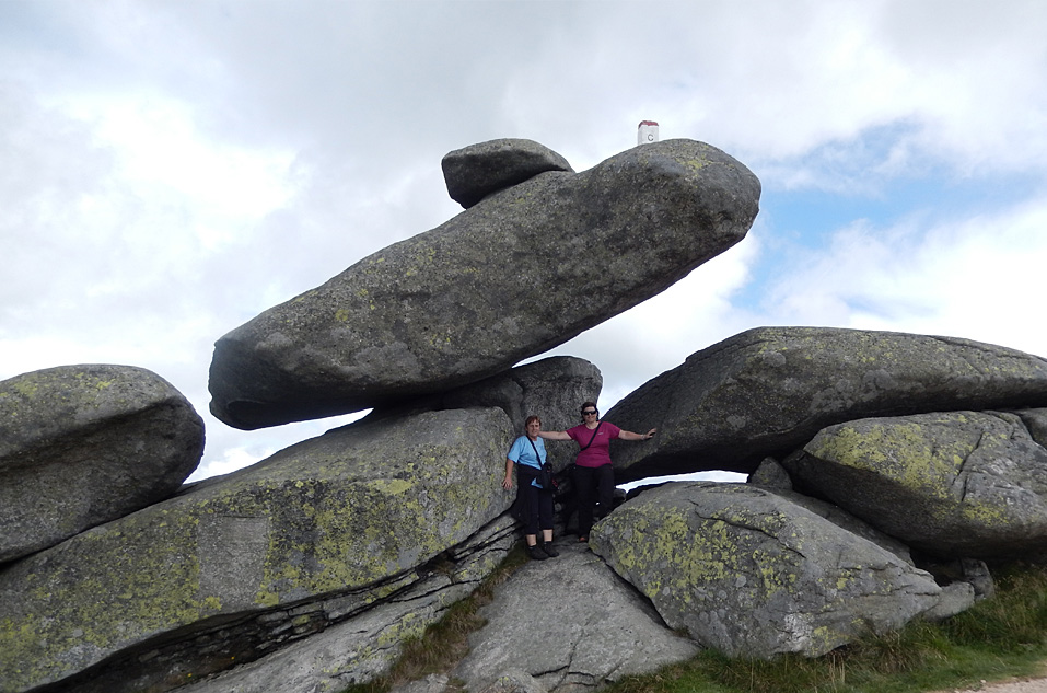
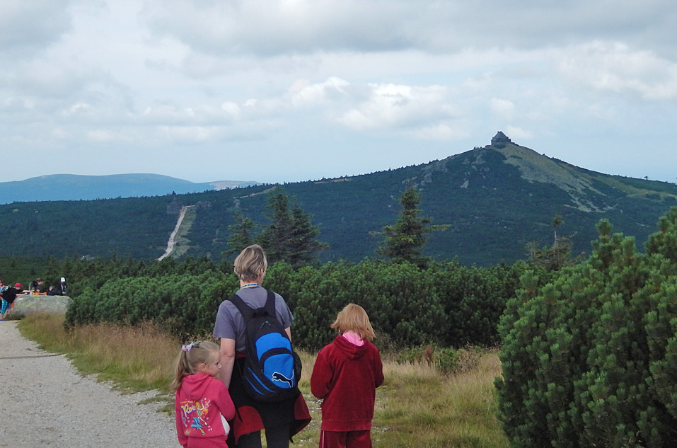
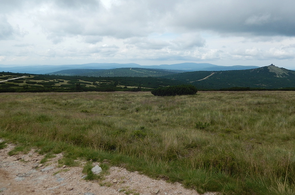
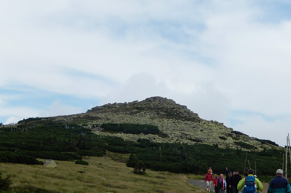
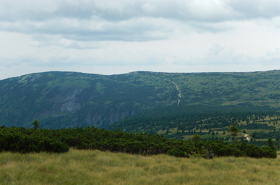
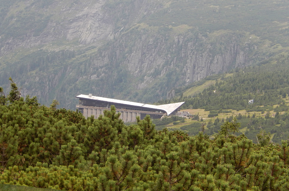
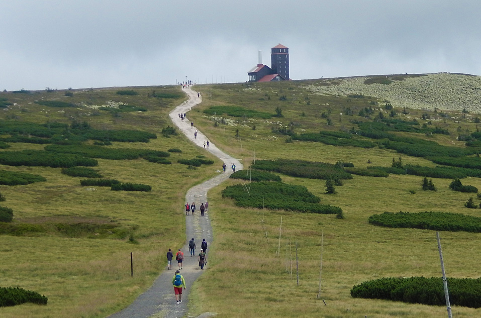
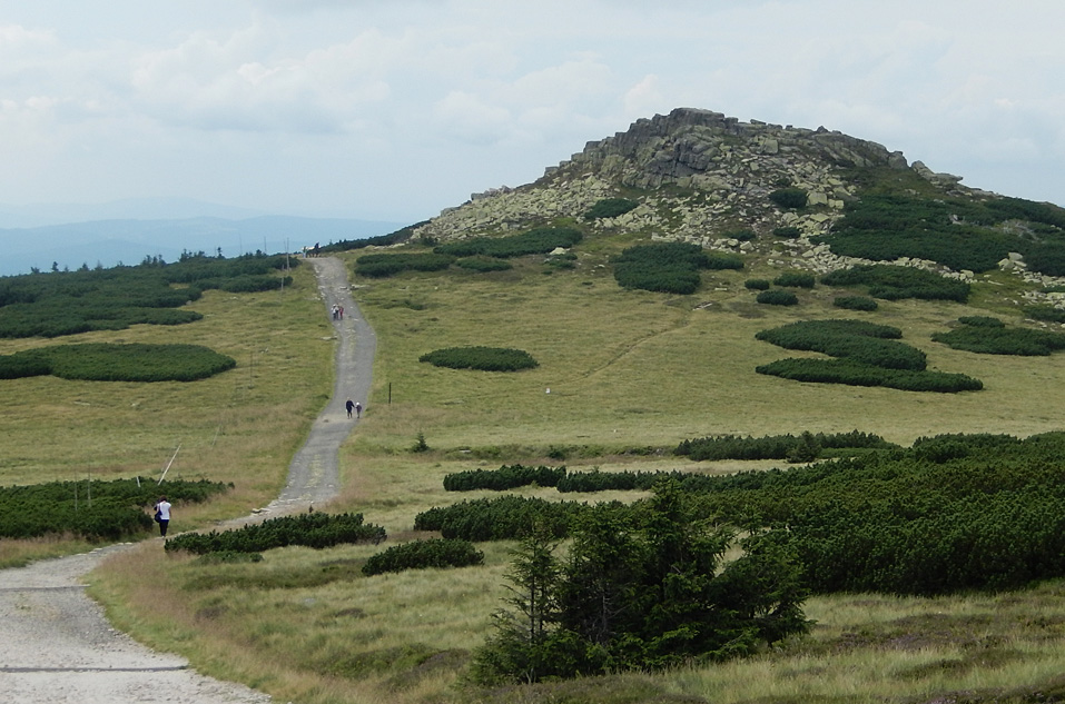
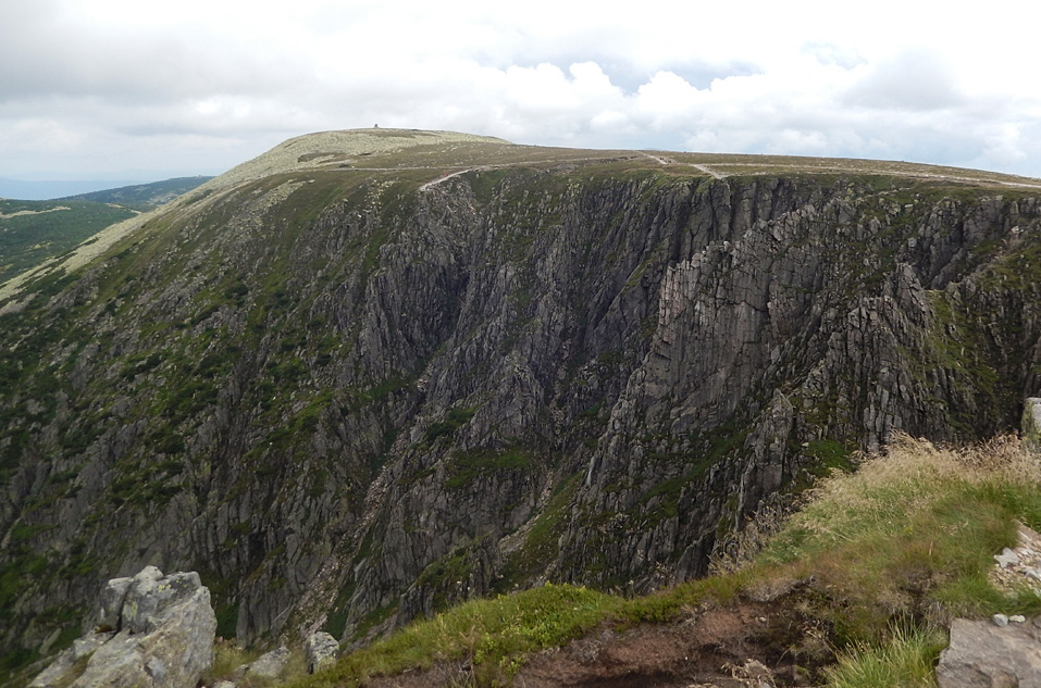
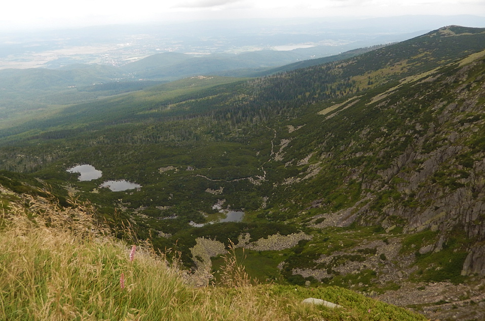
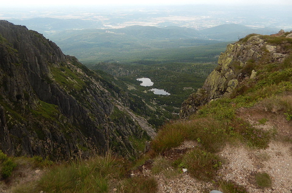
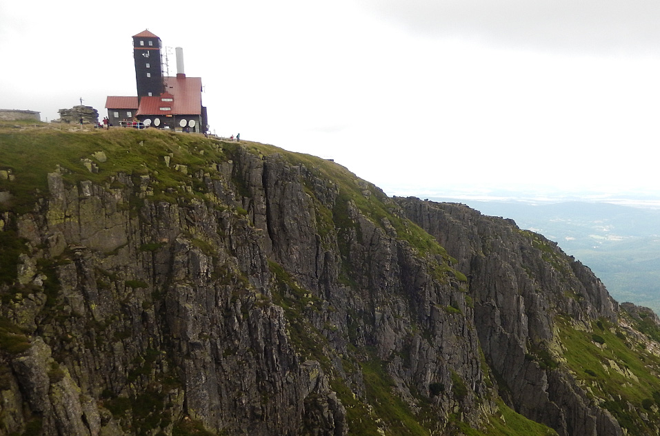
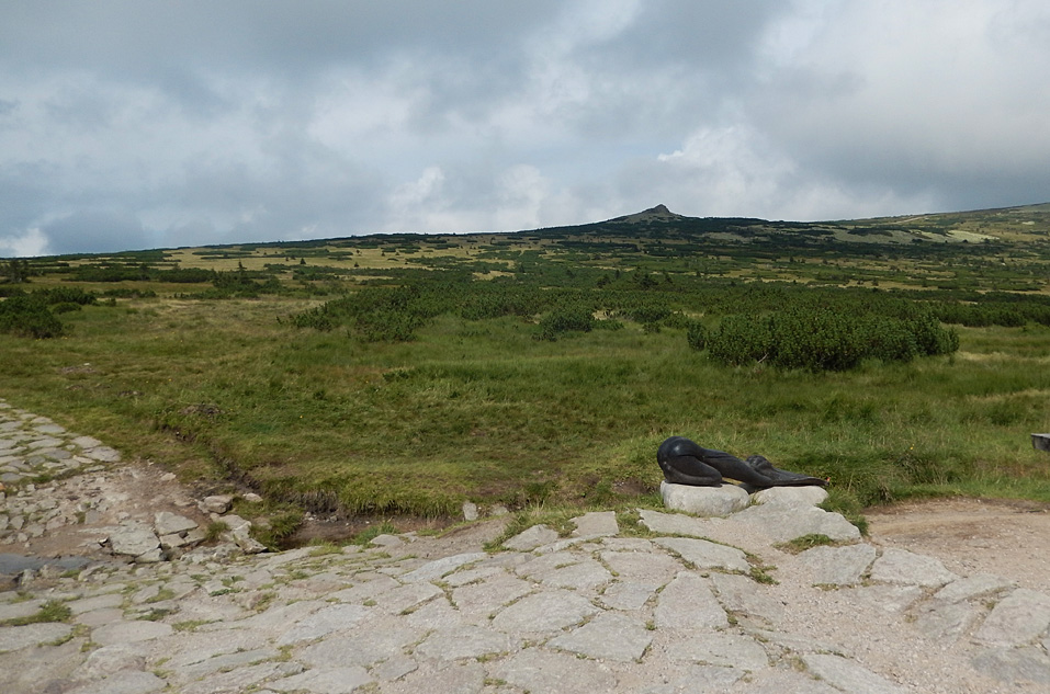
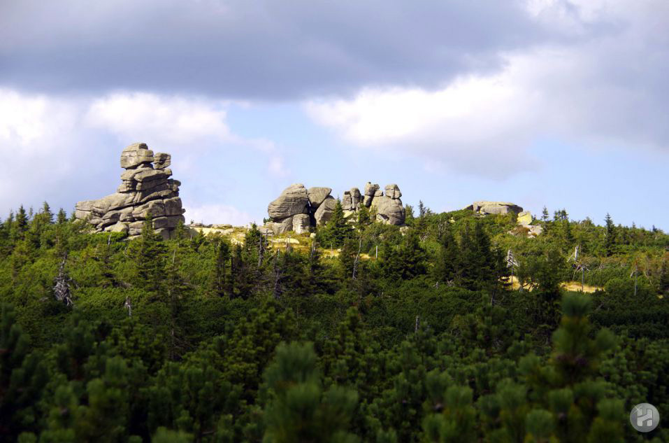
Harrachov surroundings offer many interesting places where visitors can take delight in beautiful views of the nature of the Giant Mountains. You can make your trip even more enjoyable when taking Harrachov - Devil´s Mountain funicular which will transport you up to the top of the Devil´s Mountain. Everybody can choose own route; from less demanding (short trips for families with children) to more demanding ones.

CYKLOBUSY A AUTOBUSY
FOTOGALERIE
Sportovní areál Harrachov

TURISTICKÁ MAPA


Turistická místa v okolí Harrachova

Janova skála /Jan´s Rock / GPS: Loc: 50°45'16.468"N, 15°26'11.08"E

turistika Krkono¹e
Harrachov Janova Skála
Jan´s Rock - turistická znaèka Jan´s Rock view. A view from the massive of the Devil´s Mountain with a limited view of the western Giant Mountains and Mount Szrenica in Poland. It is situated only 1 km from the upper station of Harrachov - Devil´s Mountain funicular.

Studenov GPS: Loc: 50°44'55.154"N, 15°26'48.337"E

turistika Krkono¹e
Harrachov Studenov
Studenov - turistická znaèka Studenov crossroads. From Studenov it is possible to continue to the next crossroads, turistická znaèka Ruèièky, or to the lower turistická znaèkaRokytnice, to the upper turistická znaèkaRokytnice, or back to turistická znaèka Harrachov Rý¾ovi¹tì. There is also a possibility of refreshment in Studenov.

Ruèièky GPS: Loc: 50°44'59.601"N, 15°29'3.101"E

turistika Krkono¹e
Harrachov Ruèièky
Ruèièky - turistická znaèka Ruèièky is another important crossroads on the way from the upper station of the Harrachov funicular. Approximately 1 km below Ruèièky is turistická znaèka the upper station of Horní domky funicular leading to the upper Rokytnice (it is possible to use the common ticket Harrachov/Rokytnice). The next route from Ruèièkyturistická znaèkaturistická znaèka leads to the mountain chalet of Dvoraèky. Then you can continue back toturistická znaèkaHarrachov Rý¾ovi¹tì, or through Kládova route to the Krakono¹´s Breakfast.

Dvoraèky GPS: Loc: 50°44'51.217"N, 15°30'41.601"E

turistika Krkono¹e
Dvoraèky Krkono¹e
Dvoraèky - On the way from Ruèièky toturistická znaèka Dvoraèky you can take delight in the beautiful views of the surroundings of Rokytnice nad Jizerou. turistická znaèkaturistická znaèka turistická znaèka Dvoraèky chalet is situated in the altitude of 1,140 meters above the sea level on the southern slope of Lysá Mountain.

Kettle GPS: Loc: 50°45'8.474"N, 15°31'46.499"E

turistika Krkono¹e
Krkono¹e Kotel
Kettle, previously Kokrháè) img src="./img/t_zelena.png" width="15" alt="turistická znaèka"> is the dominating mica schist mountain top on the level of 1,435 meters above the sea. On the southern slopes you can see the Big Kettle Pit (Velká kotelní jáma) and the Small Kettle Pit (Malá kotelní jáma) - typical glacial rock basins with remains of moraines and rare flora. On the southern slope of Kettle is Rù¾enka´s Garden (Rù¾enèina zahrádka).. There is a preserved geometric pattern visible in the mound of stones of unclear origin.

Harrachov Stones GPS:Loc: 50°45'18.544"N, 15°32'21.42"E

turistika Krkono¹e
Krkono¹e Kotel
Block-shaped Harrachov Stones turistická znaèka are the most known formation on the internal ridge of the Giant Mountains rising high above the edge of the Big Kettle Pit. In the vicinity you can see granite rocks, parts of side slopes of the mountain range descending to the Polish side.

Memorial Hanè and Vrbata GPS:Loc: 50°45'7.897"N, 15°32'55.388"E

turistika Krkono¹e
Mohyla Hanèe a Vrbaty
Memorial turistická znaèka was built on Vrbata elevation in the altitude of 1,400 meters above the sea level close to Vrbata chalet in the memory of skiers Bohumil Hanè and Václav Vrbata who died near the place on 24th March 1913 during the 50 km ski race. There is a beautiful view of the surrounding panorama of the Giant Mountains. You can see remains of fortification from 1930s near the Memorial, the fortification served for the protection of the state border.

Panèava Waterfall GPS: Loc: 50°45'41.608"N, 15°32'46.594"E

turistika Krkono¹e
Panèavský vodopád
Panèava Waterfall turistická znaèka is the highest waterfall in the Czech Republic, its total height is 148 meters. The stream of Panèava River leaves Panèava Meadow in this place and falls to the Elbe Mine (Labský dùl). It is possible to get to the waterfall along the red tourist mark between Labská and Vrbata chalets.

Labská bouda GPS: Loc: 50°46'12.702"N, 15°32'43.485"E

turistika Krkono¹e
Labská bouda
Founded turistická znaèka after 1830 above the end of the Elbe Mine basin, burnt down on 6th November 1965 and newly built on the southwest from the ruins in 1975 according to project of Ing. arch. Z. Øíhák. In the vicinity, on the Elbe River, you can still see the remains of a small basin serving in the past for collecting water for the Elbe Waterfall. It is located on the crossroads of the most known and beautiful tourist routes. This is the starting place of routes to all attractive parts of the Giant Mountains: to Spindler´s Mill, Horní Míseèky, Harrachov, Spring of the Elbe River, Elbe Waterfall and Spindlerovka and further to Luèní chalet and Pec pod Snì¾kou.

Spring Labe GPS: Loc: 50°46'32.151"N, 15°32'10.216"E

turistika Krkono¹e
Pramen Labe
Spring turistická znaèka of our most famous Czech river, the Elbe, rises on the Elbe Meadow in close vicinity to the state border with Poland. This spring was symbolically consecrated by Hradec Králove´s Bishop, Jan of Talemberk, and thus the Elbe Meadow definitely became part of the Czech territory. In 1968 the Elbe spring was adjusted and a metal board with coats of arms of cities through which the Elbe River flows was installed. This place is accessible on Czech Route and it is a crossroad of red, green and yellow tourist routes.

Snì¾né jámy(Snowy Pits) GPS: Loc: 50°46'43.323"N, 15°33'25.712"E

turistika Krkono¹e
Snì¾né jámy
Snì¾né jámy(Snowy Pits) img src="./system_img/t_zluta.png" width="15" alt="turistická znaèka"> turistická znaèkais a Polish state reservation of two glacial rock basins 215 deep with cracked granite walls. There are two glacial lakes 1.5 m deep on the bottom of the Big Snowy Pit. Basalt vein in Small Snowy Pit is 1,425 m high. 216 species of rare flora are in the vicinity (rockfoil, breakstone, saxifrage and other plants). The shape of chalet above the Pits resembles the royal castle of Wawel, that is why it bears the same name. Today´s appearance with observation tower is from the years 1895-1897. There is a radio and television transmitter on the tower since 1960.

Violík GPS: Loc: 50°46'50.77"N, 15°32'44.336"E

turistika Krkono¹e
Violík
Violík (Labski Szczyt) turistická znaèka - rocky hill on the northern edge of the Elbe Meadow. It is a rocky cone (tor) of granite boulders covered with lichen, its southern side is a 20-meter jagged wall. Its appearance is affected by the icy weathering.

Tvaro¾ník GPS: Loc: 50°47'5.394"N, 15°30'52.359"E

turistika Krkono¹e
Tvaro¾ník
Tvaro¾ník turistická znaèka is one of the most known stones in the Giant Mountains. It is a grouping of granite mill-wheel boulders. The name also refers to the shape of the famous cheese produced in the Giant Mountains. Tvaro¾ník is accessible not only on road but also from Vosecká chalet. Your attention will certainly be attracted by the flat rocking stone which can be seen on the top. Tourist frontier crossing is situated not far from this place. There is the beginning of the Route of Czech-Polish Friendship. You can admire the panorama of Poland. Distinctive Mount Szrenica (Jinono¹) is in the Polish territory where the 3-km funicular (from 1928) from Sklarska Poreba ends.

Zsrenica GPS: Loc: 50°47'31.565"N, 15°30'49.582"E

turistika Krkono¹e
Zsrenica
Mount Szrenica (called also Jínono¹) turistická znaèka is situated in the main ridge of the Giant Mountains (Silesian Ridge). Vrcholek, on the south from Szklarska Poreba mountain resort, is situated only 200 m from the Czech border. It is surrounded with rocks and offers great views. Marked routes literally converge from all sides, including route from the tourist frontier crossing at Vosecká bouda. The 3-km funicular from Sklarska Poreba ends here.

Vosecká chalet GPS: Loc: 50°46'58.459"N, 15°30'39.21"E

turistika Krkono¹e
Vosecká bouda
Vosecká chalet turistická znaèka turistická znaèka is in the western part of the Giant Mountains in the first zone of the Giant Mountains National Park in the altitude of 1,260 meters above the sea level. It was built before 1743, originally to store hay, around 1790 the chalet served as a shelter for woodcutters and as a farm building. It was also called Czech or Franciscan chalet according to the monk residing here. It obtained the name "Vosecká" from the meadow the chalet stands on. It has been used for tourist purposes since 1896. In 1900 the chalet was rebuilt and enlarged. It got its today´s appearance in reconstruction after the World War Two. As one of few ridge chalets, it was never affected by fire. Another rarity is absence of electric network; needed energy is generated by a diesel aggregate.

Krakono¹´s Breakfast GPS: Loc: 50°45'54.292"N, 15°30'24.626"E

turistika Krkono¹e
Krakono¹ova snídanì
Krakono¹´s Breakfast crossroad turistická znaèka From Vosecká chalet to Harrachov, through turistická znaèka Mumlava Waterfalls. Or along turistická znaèka Kladova route to Ruèièky crossroads. The nextturistická znaèka rocky route then leads to Panèava Meadow.

Mumlava Waterfall GPS: Loc: 50°46'14.774"N, 15°27'10.64"E

turistika Krkono¹e
Mumlavský vodopád
Mumlava Waterfall turistická znaèka se nachází na øece Mumlava na okraji Mumlavského dolu pod Ptaèincem. is situated on Mumlava River at the edge of Mumlava Mine under Ptaèinec. It is the water-richest waterfall with water falling on all width of the riverbed to the depth of approximately 10 meters. Waterfall fills the whole riverbed and makes big kettles in the granite rock, known as Devil´s Eyes. These holes were hollowed in the granite by movement of water containing little stones. Mumlava chalet is situated near the waterfall - originally Harrachov gamekeeper´s lodge, today a restaurant. The waterfall is accessible also on foot or bicycle on asphalt road which cannot be used by motor vehicles.

Kontakt


Sportovní areál Harrachov a.s.
Harrachov 225, 512 46 Harrachov
PO BOX: 42
e-mail:areal@harrachov.cz
tel: 00420 481 529 353

Slevy

Harrachov card
Copyright: MS 2011 - 2016 (c)